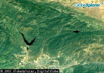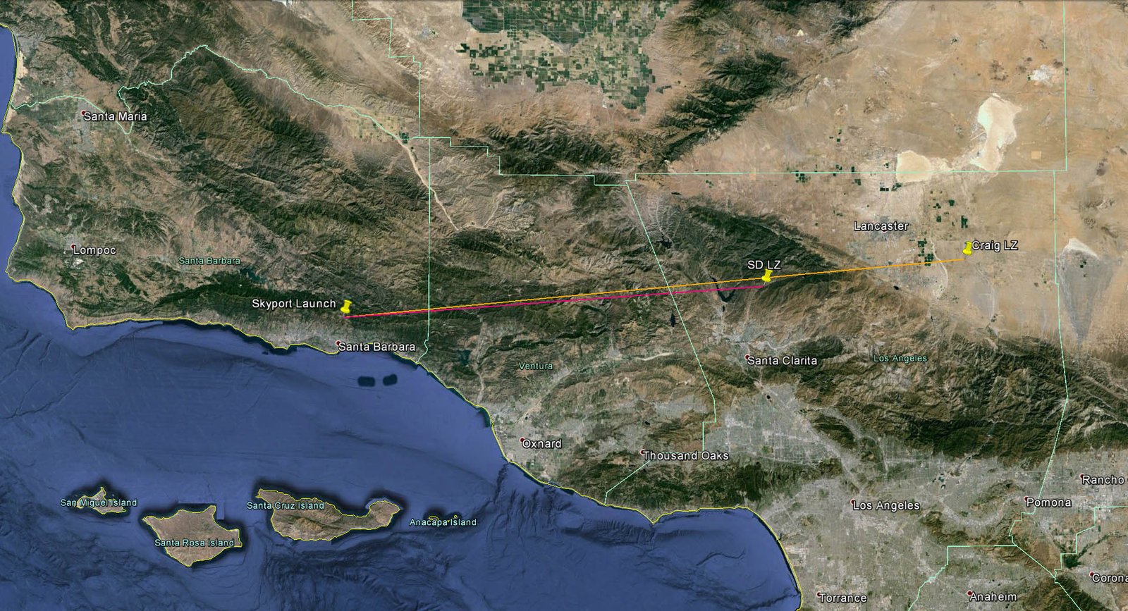
Updated Photos from Google Earth in 2014, note that vegetation has changed
over 12 years
Click photos for full HD Size, or view Google Earth [KML
File]

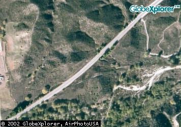
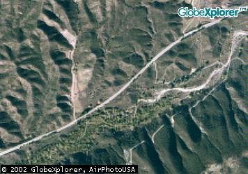
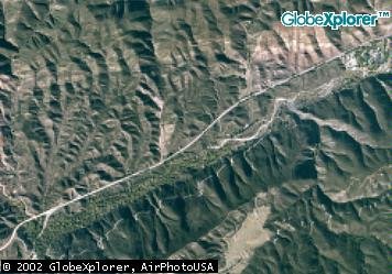
Original Aerial Photos from 2002
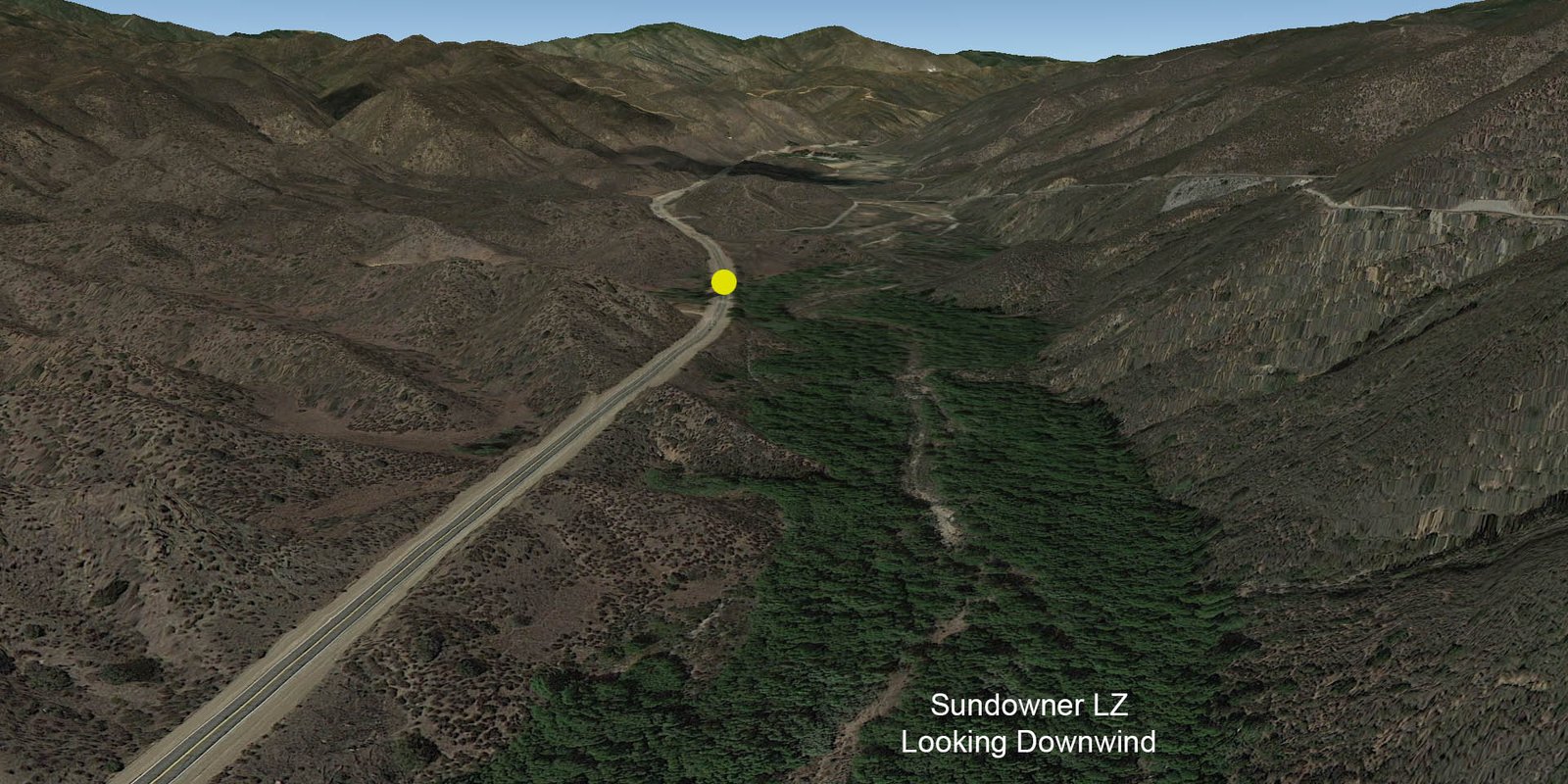
Landing in Center of Picture
Breakdown at trees just to the upper right of center
A Place to Shoot, 33951, San Fransquito Rd,
is on the left side of the top picture