|
[Home] to paraglide.net [SD Log] [Amigo] [Activity] [Photo] [Comments] [Incidents] [Weather] [SBSA] [SCPA] |
| [Amigo] > [Mitch Riley flight index] |
Some flight data copied from: [www.xcontest.org/world/en/pilots/detail:mitchriley]
Note: some IGC and (and subsequent KMZ) files have been edited to trim the ends
and reconcile landing and takeoff altitude with Google Earth.
See Also: Mitch's Vimeo Page at: [https://vimeo.com/mitchriley]
or track Mitch's flights on his Delorme inReach Map Page at: [https://share.delorme.com/MitchRiley]
Mitch Riley
Flight on
9/28/2016 / Flight Archive updated on 9/28/2017
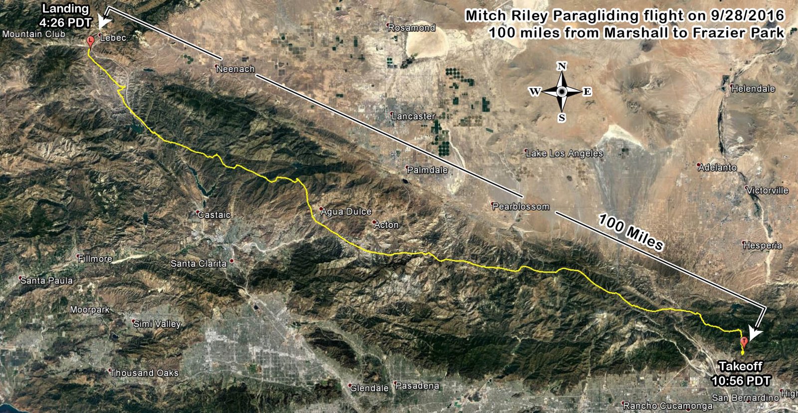
New PG distance record for Marshall? (but superseded by Mitch from
Marshall eastbound on 4/17/2017)
Marshall to the Truck Stop at I5 and Frazier Park, just a pinch under 100
miles (99.8 miles from two farthest flight points)
Distance from Launch to Landing was 99.5 miles
Reference: [IGC Text Data File] and [Google Earth KMZ File] or [Doarama Animation]
Scroll Down ↓ for more images. Click
this image ↓ for full size
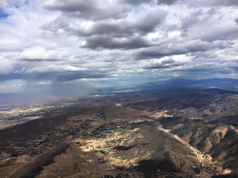
Looking East across the Leona Valley
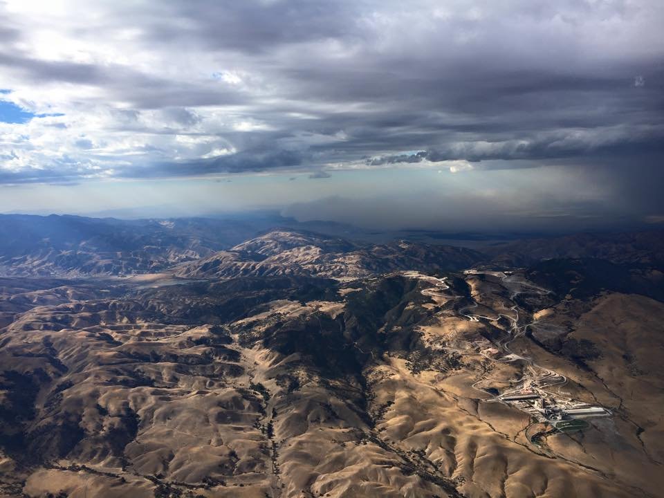
Looking NW at the Cement Plant ↑ on the west end of
the Antelope Valley
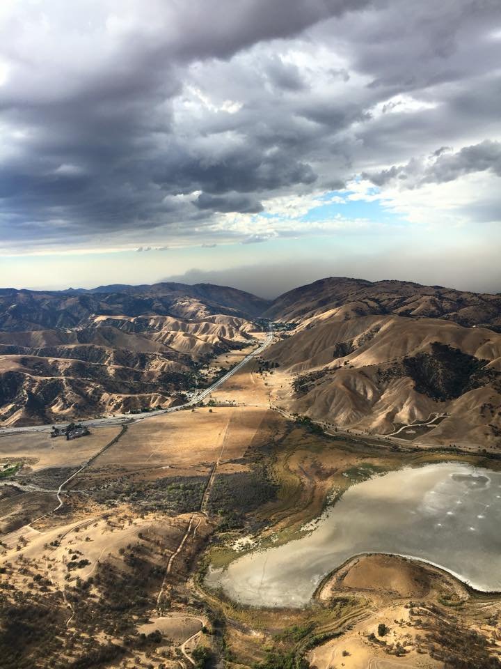
Looking North up the I5 toward Fort Tejon
[Top of Page] [Home]