|
[Home] to paraglide.net [SD Log] [Amigo] [Activity] [Photo] [Comments] [Incidents] [Weather] [SBSA] [SCPA] |
| [Amigo] > [Mitch Riley flight index] |
Some flight data copied from: [www.xcontest.org/world/en/pilots/detail:mitchriley]
Note: some IGC and (and subsequent KMZ) files have been edited to trim the ends
and reconcile landing and takeoff altitude with Google Earth.
See Also: Mitch's Vimeo Page at: [https://vimeo.com/mitchriley]
or track Mitch's flights on his Delorme inReach Map Page at: [https://share.delorme.com/MitchRiley]
Mitch Riley
Saturday 9/23/2017
Reference: [IGC Text Data File] and [Google Earth KMZ File] or [Doarama Animation]
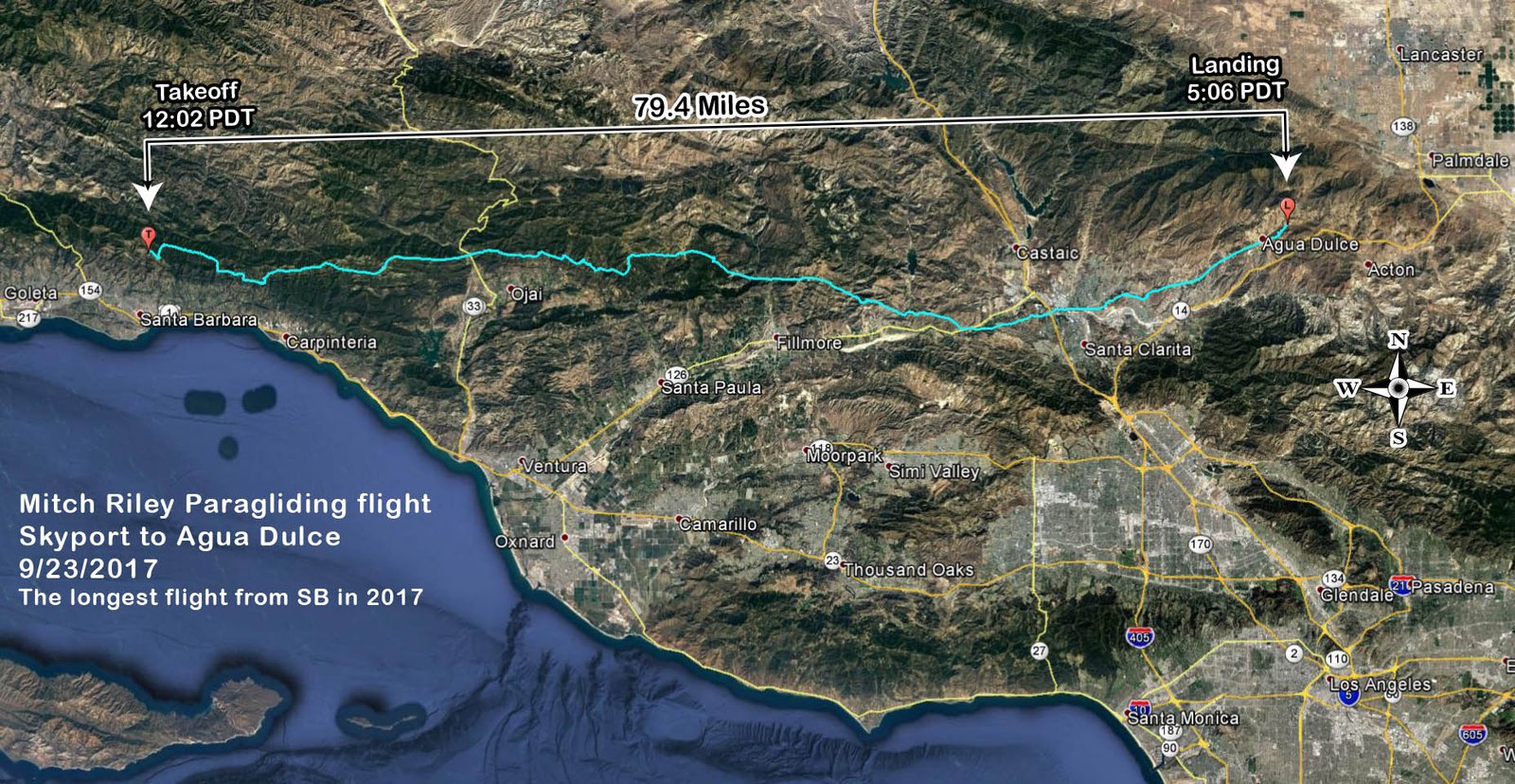
Skyport to just past the Agua Dulce Airport
79.4 miles from the two farthest points, 79.3 miles from Launch to Landing
The longest straight line open distance flight from Santa Barbara in 2017
[Top of Page] [Home]