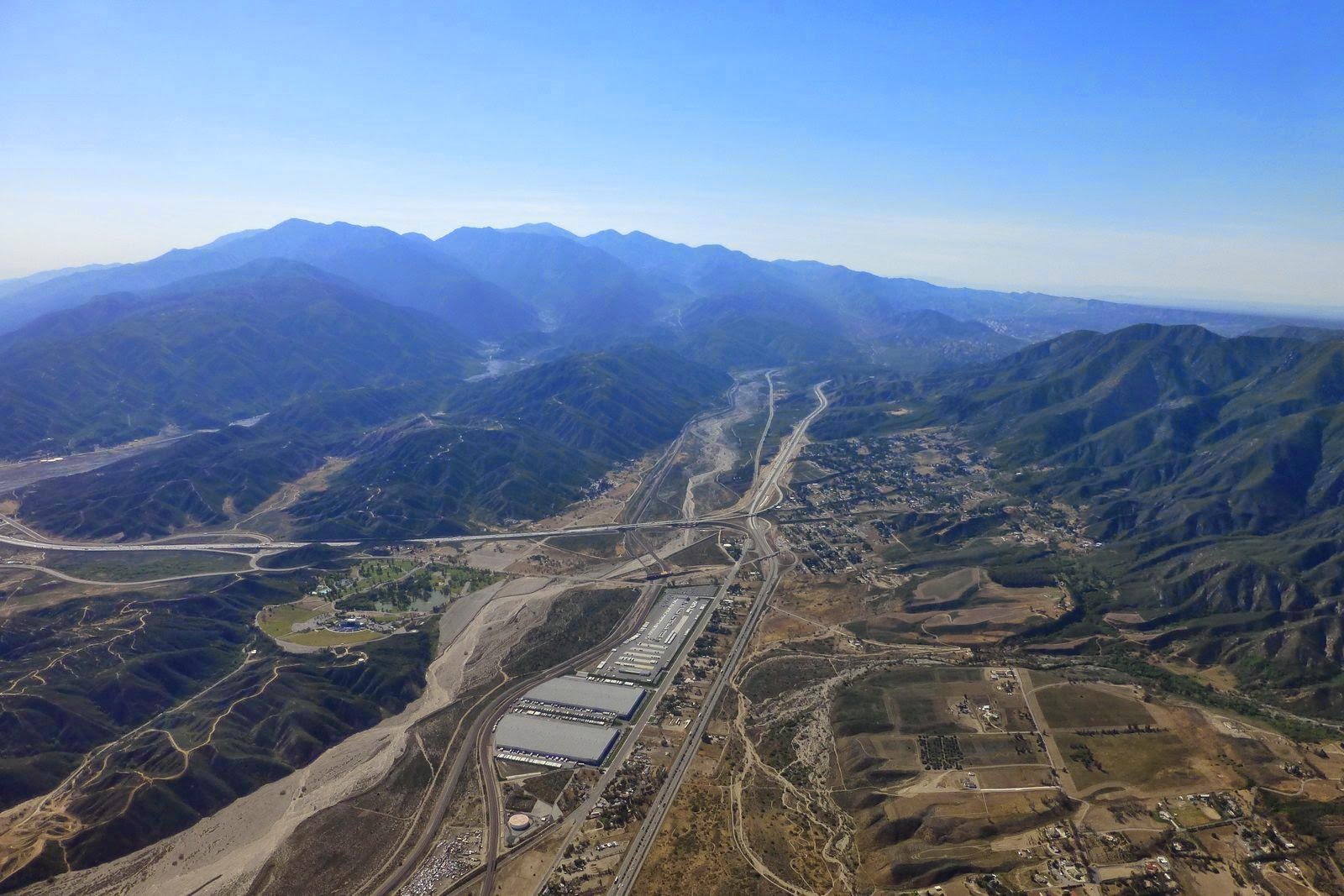
Cajon Pass (click image for full size)
|
[Home] to paraglide.net [SD Log] [Amigo] [Activity] [Photo] [Comments] [Incidents] [Weather] [SBSA] [SCPA] |
| [Amigo] > [Alex Gagarin flight index on Paraglide.net] or Alex's Blog at [http://skydizzy.blogspot.com] |
Thursday, 5/15/2014 [Weather] and [Flight Articles] by [Spin Dotor] [Cortfly] [Dizzy] & [Sundowner] [Photos]
Alex Gagarin aka Dizzy
Thursday, 5/15/2014
See Also, Dizzy [Track Image] or Google Earth [KMZ File]
Article Copied from: http://skydizzy.blogspot.com/2014/05/marshall-out-and-return-41-miles.html
Marshall out and return, 41 miles
Thursday supposed to be switch day from Santa Ana. Original plan was to fly open distance from Marshall to Palmdale and beyond. It's all about timing. Start is determined when north wind switch to south at Marshall, you normally launch right into convergence. Finish is determined when east wind switch to south-west in the desert. 48h forecast looked great with 5 mph east at Palmdale at 5 pm. However, run after run it was getting worse and worse with morning forecast of 10 mph of SW at Palmdale at 5 pm. Not good at all. Another option was to fly OTB to Victorville and along I-15 toward Baker, but there was north east in the morning shifting to SW, and light north on top. Questionable as well. So, I decide to tag San Gorgonio and fly back.
Meet at LZ with Rebar Dan, Russ and Ziggy. On launch at 11:30, but it was still NW, so we waited half an hour. I launched first at 12:12 and climbed to 6K drifting toward Arrowhead. Russ and Ziggy spend some time scratching, but then climbed all the way to 10K, wow! They catch up with me near McKinley, but were lower. I got to 10K at Harrison, which was very useful, a lot of sink up to -5 m/s and head wind all the way to past dam. I lost more than 3K of altitude. Russ and Ziggy did not tank up at Harrison leaving only with 6.7K, which cost them the day, they both landed short from the dam and hitchhiked back to LZ. Meanwhile I was struggling to get over Little San Gorgonio spine, air was nasty with forward speed dropping to 5 mph at times, I had a feeling that east wind from the pass was mixing with SW from the valley. Anyway I give up tagging a peak and flew back with a good tail wind. I was back at Marshall at 3:30, should probably try harder to tag San G. Went out to flats and then to Little Mountain.

Cajon Pass (click image for full size)

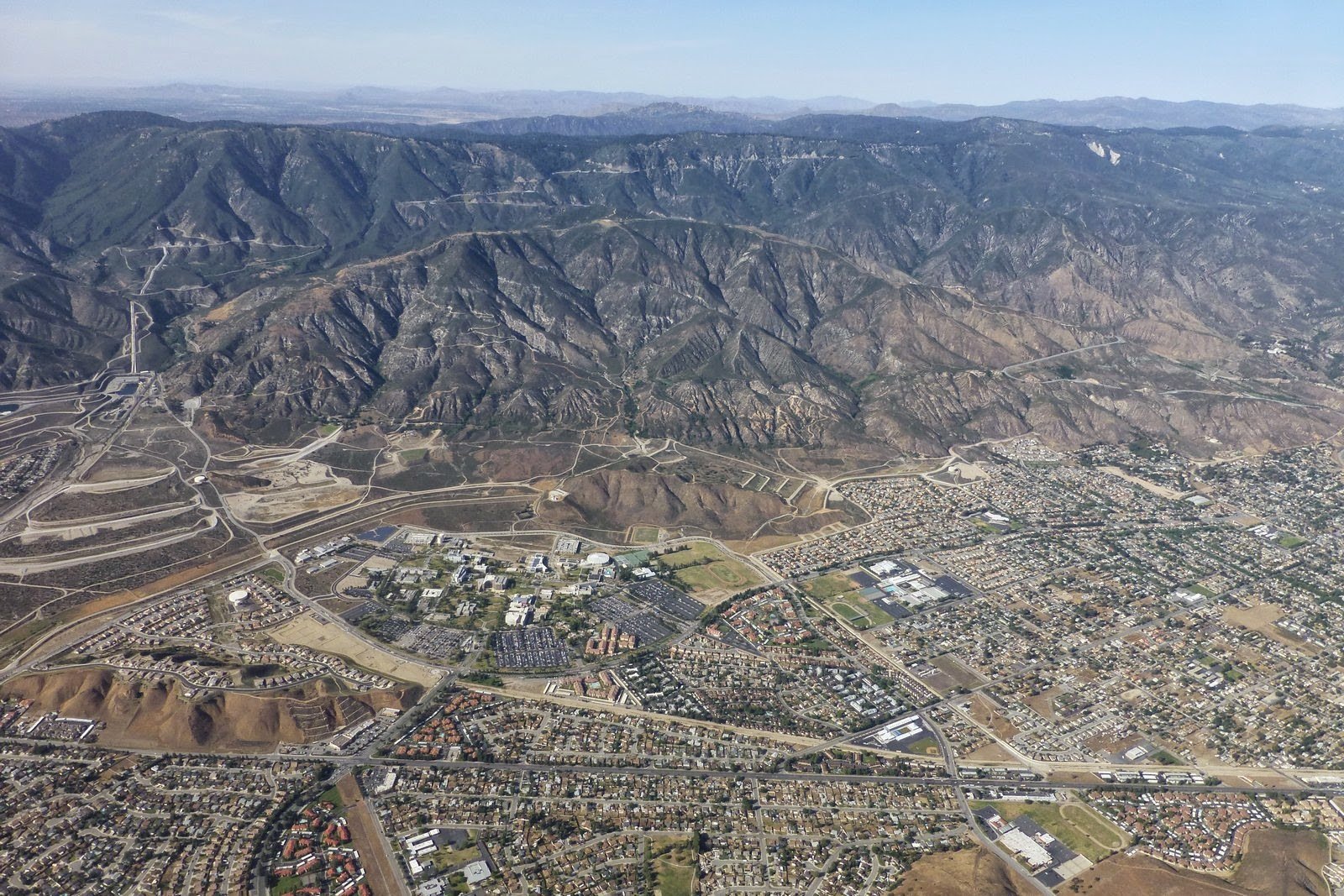
Marshall (click image for full size)

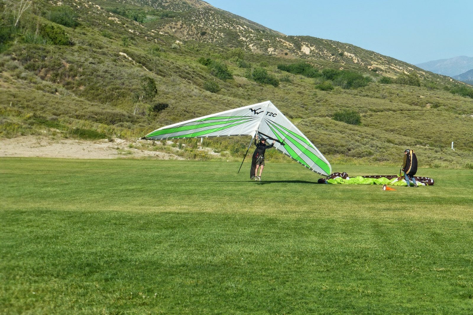
Marshall LZ (click image for full size)

LZ (click image for full size)
Rebar Dan completed 100 miles FAI triangle (Marshall to Elsinore to Soboba to
Marshall LZ) on his Litespeed hang glider, very impressive. Congratulations!
My track:
http://www.paraglidingforum.com/leonardo/flight/915176
Russ:
http://www.paraglidingforum.com/leonardo/flight/915264
Click track image below ↓ for full size,
or view Google Earth [KMZ
File]

[Top of Page] [Home]