3 hours 51 minutes airtime
Launch Crestline at 12.47 PM
Wills Wing T2C 144 / Hang Glider
|
[Home] to paraglide.net [SD Log] [Amigo] [Activity] [Photo] [Comments] [Incidents] [Weather] [SBSA] [SCPA] |
| [Amigo] > [Jonathan Dietch flight index] |
Sunday 9/14/2014 [Weather]
and [Flight Articles] by [SD] [Chris
Paul]
[Bendan] [John
Scott] [JD] [Dizzy]
[Sat 9/6 by Dizzy] / [Wed 9/10 by JD] /
Fri 9/12 by [Dizzy]
[JD] &
[Ken]
/ [Sat
9/13
Elsinore] / & [Misc Post]
Plus 2014 Mid September [Photo Sets] and [Track Logs]
Jonathan Dietch (aka NMERider or JD)
Crestline to Quartz Hill
Flight on Wednesday, 9/10/2014
| About 61 Miles from Launch to Landing 3 hours 51 minutes airtime Launch Crestline at 12.47 PM Wills Wing T2C 144 / Hang Glider |
See also, Jonathan's [Photo Set]
plus [Google
Earth KML Track Log]
and JD's narrated video at:
http://www.youtube.com/watch?v=LfL9TwbEcCA
Editor's note: there are more comments on YouTube than the Crestline Soaring
Discussion Board
Article Copied from:
http://www.crestlinesoaring.org/node/922
Submitted by
NMERider on
Crestline to Quartz Hill - Plan D
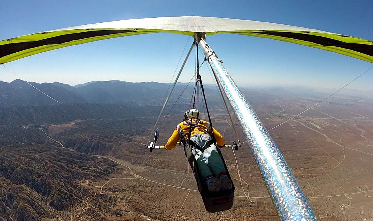
Met Wally up on launch then hucked off Crestline at 12:47. ENE winds aloft made it very difficult to get out of the Silverwood Lake valley with enough windage to avoid getting blown into some bad areas of the San Gabriels. After several failed attempts a few lucky ones got me positioned to catch the boomer coming off the 15 fwy & Aquaduct junction to 11K. From there it was on but far from easy. Eventually I became pretty run down and brought the show to a safe conclusion in Quartz Hill after 3:51hrs and 60.75 linear and 73.5 cockeyed miles. Captured 3:15 hrs of the excitement from the keel camera. Here's an overview of the track. ↓ Click to view full size.
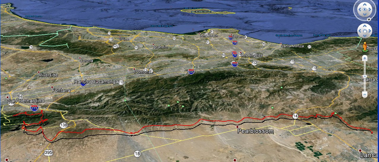
Escape from Silverwood... ↓
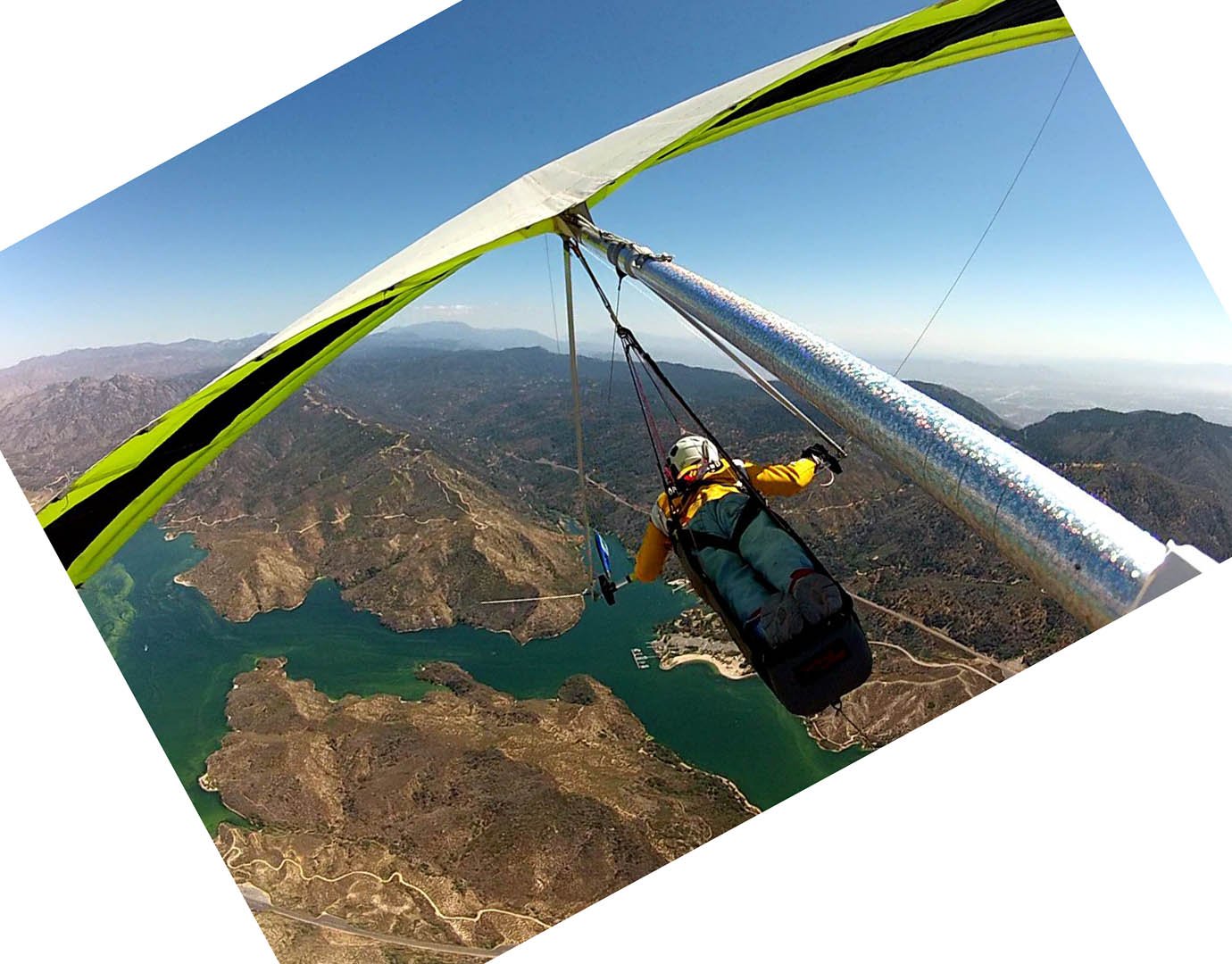
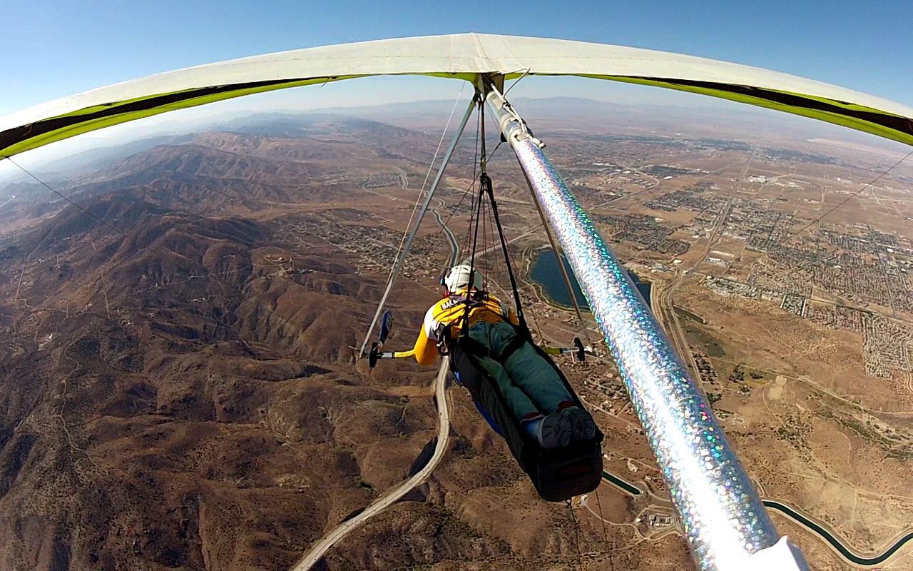
Looking West ↓
Mom, I can see the ocean from here! ↓
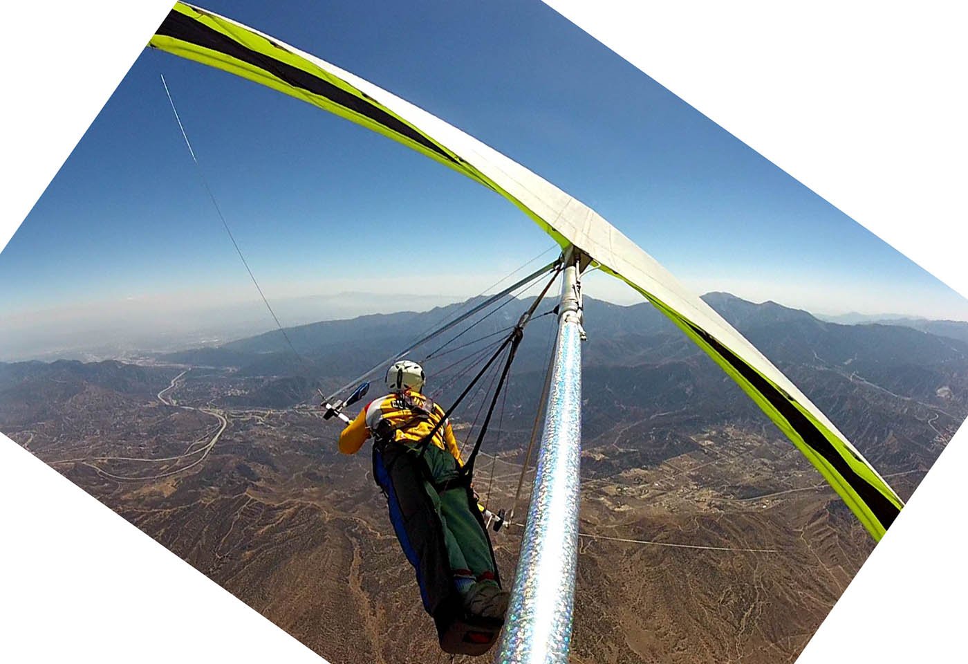
All that cool looking geology! ↓
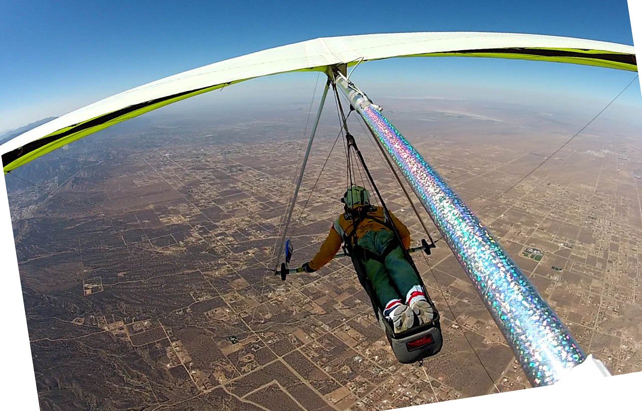
The 14 ↓
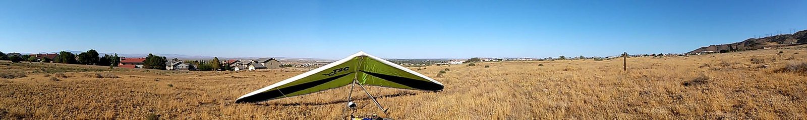
Where it ended ↓
deafhangglider replied on Thu, 09/11/2014 - 12:48
wow ... are there any rotor behind mountain?
NMERider replied on Thu, 09/11/2014 - 13:34
No Rotor NE wind
All the winds in the desert were ENE and blowing into the North face of the mountain. Conditions were actually pretty poor yesterday. It's better to fly this route when it's ESE. I cannot speak for anyone else's ability to fly along these X/C routes. There are very few safe places to land especially as you get closer to the mountain. There are hazards everywhere that can't be seen until it's a little late. It's easy to end up injured or damage equipment from even a small mistake.
[Top of Page] [Home]