Pilots getting ready on Marshall launch
|
[Home] to paraglide.net [SD Log] [Amigo] [Activity] [Photo] [Comments] [Incidents] [Weather] [SBSA] [SCPA] |
| [Amigo] > [Alex Gagarin flight index on Paraglide.net] or Alex's Blog at [http://skydizzy.blogspot.com] |
Sunday 9/14/2014 [Weather]
and [Flight Articles] by [SD] [Chris
Paul]
[Bendan] [John
Scott] [JD] [Dizzy]
[Sat 9/6 by Dizzy] / [Wed 9/10 by JD] /
Fri 9/12 by [Dizzy]
[JD] &
[Ken]
/ [Sat
9/13
Elsinore] / & [Misc Post]
Plus 2014 Mid September [Photo Sets] and [Track Logs]
Alex Gagarin aka Dizzy
Sunday, 9/14/2014
See Also Dizzy [Sunday
Photos] Track Log [Google Earth
KMZ File]
Article copied from:
http://skydizzy.blogspot.com/2014/09/marshall-to-soboba-and-back-65-miles.html
Posted by Posted by Alex Gagarin at 2:41 PM
Marshall to Soboba and back, 65 miles flight
Good XC weather normally stays for 3-4 days with changing wind direction day
after day. It's hard to pick one site and one route to fly when all sites
looks great. After Friday's 6 hour flight to Antelope Valley I was tired
and it was easy decision to skip Saturday and fly Sunday. Rebar Dan was
thinking of flying to Mexico border again, but after checking morning forecast
it looked like too much moisture south from San Jacinto and possible OD.
Jonathan was going to fly Pine with Southside, but their truck was full and wind
at Pine was too strong. SD was planning on Nuthouse, but hiking in 100
degrees was not very inspiring as well as going over the back from Topa Topa.
I choose Marshall.
Sometimes you just need to show up on LZ without a particular plan and plan will
materialize for you. I was at LZ at 10 and it turned out Marcello had 10
am shuttle going to Marshall and they all want to fly XC. $5 extra for
retrieve and they promised to pick me up. Really? I decided not to
scare them by telling that my XC may be "slightly" further then they used to.
Anyway, Marcello wanted to fly to Soboba and I did not been there for years and
thought it would be good to see new green LZ and chat with Jerome.

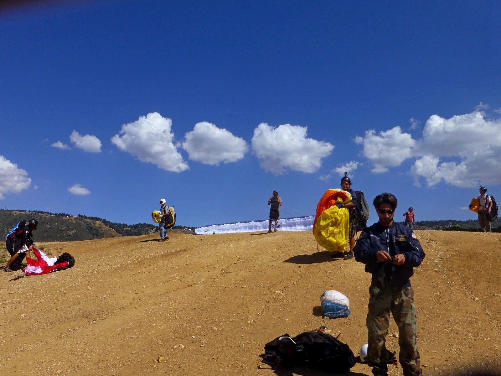
Pilots getting ready on Marshall launch
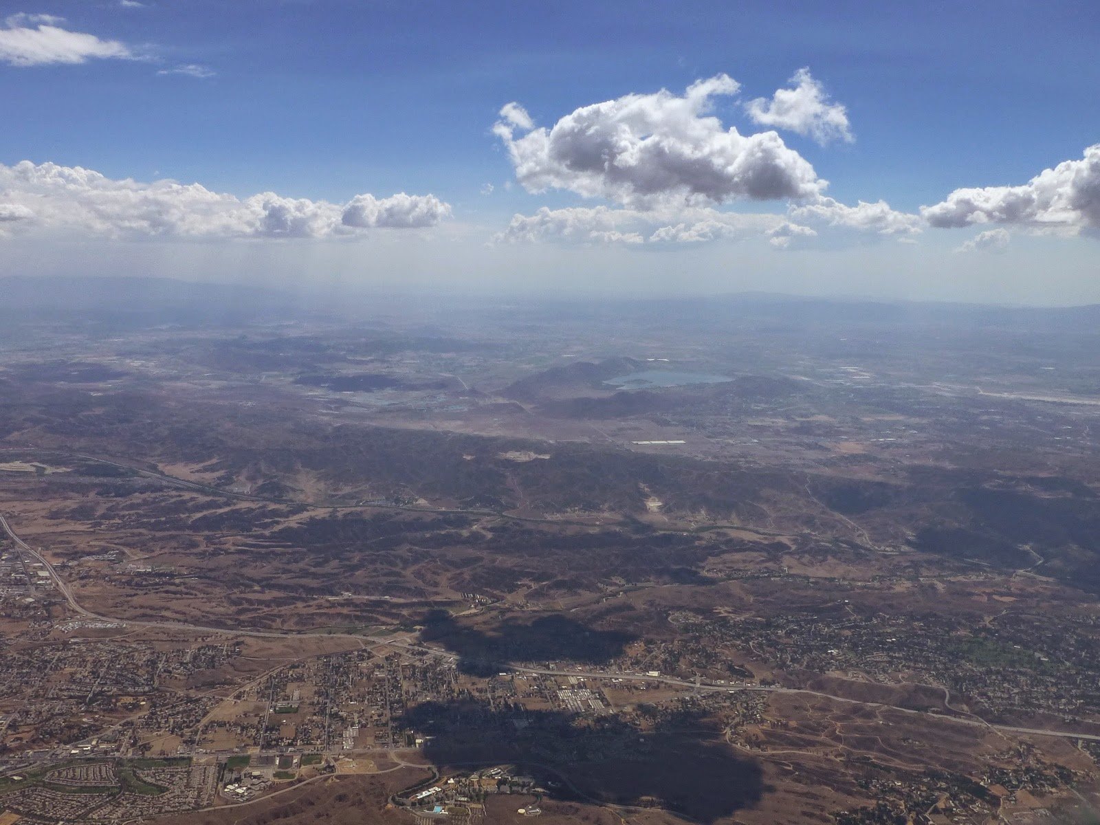
I launched at 11:29 am. Conditions were already quite strong, cloud streets over Crestline ridge, San Gabriels, San Jacinto and Elsinore. There were about 8 other pilots, but most of them did not take time to climb high and rushing to cross to Arrowhead. However, one pilot on Delta 2 (Gareth) flew with me. We climbed to 6300 ft and cross to Arrowhead, found another thermal to 6800 ft drifting back and then jumped back to main ridge near Strawberry Peak. We were getting some thermals, but could not get to the clouds. It was uncomfortable to drift with the thermals back over forest with only 7K, so I decided to fish for thermals out front. That almost put me to the ground, but I was able to find a good thermal back to 9300 ft and then 11K over Running Springs. Gareth did not survive this low save and landed next to highway 330.

Following clouds across highway 10
East wind through Banning pass was in forecast until 5 pm and RASP indicated convergence line way west from the pass. There were nice clouds over San Gorgonio and San Jacinto, but no clouds in between (as predicted). Few clouds start forming on SE side of Redlands and good could street all the way to San Jacinto from there. So, I just followed clouds to Soboba. There was a light rain near Idyllwild maybe 15-20 km from me and I had a concern that it may grow, but it did not. Marcello was still in the air and changed his goal to Elsinore, but landed short.
It was only 3:00 pm and I was at 10K over Soboba considering my options. Going further south or south-east was not possible because of the rain and going back looked easy, staying under the same cloud street. I even had a tail wind almost all the way to Harrison where I got low again. I want to get back to clouds on the back ridge to avoid valley SW wind, which is normally strong and it's hard to fly upwind. Overdevelopment finally started near San Gorgonio and clouds near Keller peak looked very dark ready to OD as well. I took a climb to 11K, which was more than enough for 15 km final glide. I encountered some SW wind after Arrowhead with considerably more over Marshall. Pushed upwind all the way to highway 215 to lose altitude and landed with minimal forward speed at 5:20 pm.
My track: http://www.paraglidingforum.com/leonardo/flight/1033140
or IGC file on Paraglide.net at:
or KML file (need Google Earth installed to view) on Paraglide.net at:
SD flew 111 miles from Nuthouse to Garlock (track) and Ziggy made it from
Elsinore to Marshall.
[Top of Page] [Home]