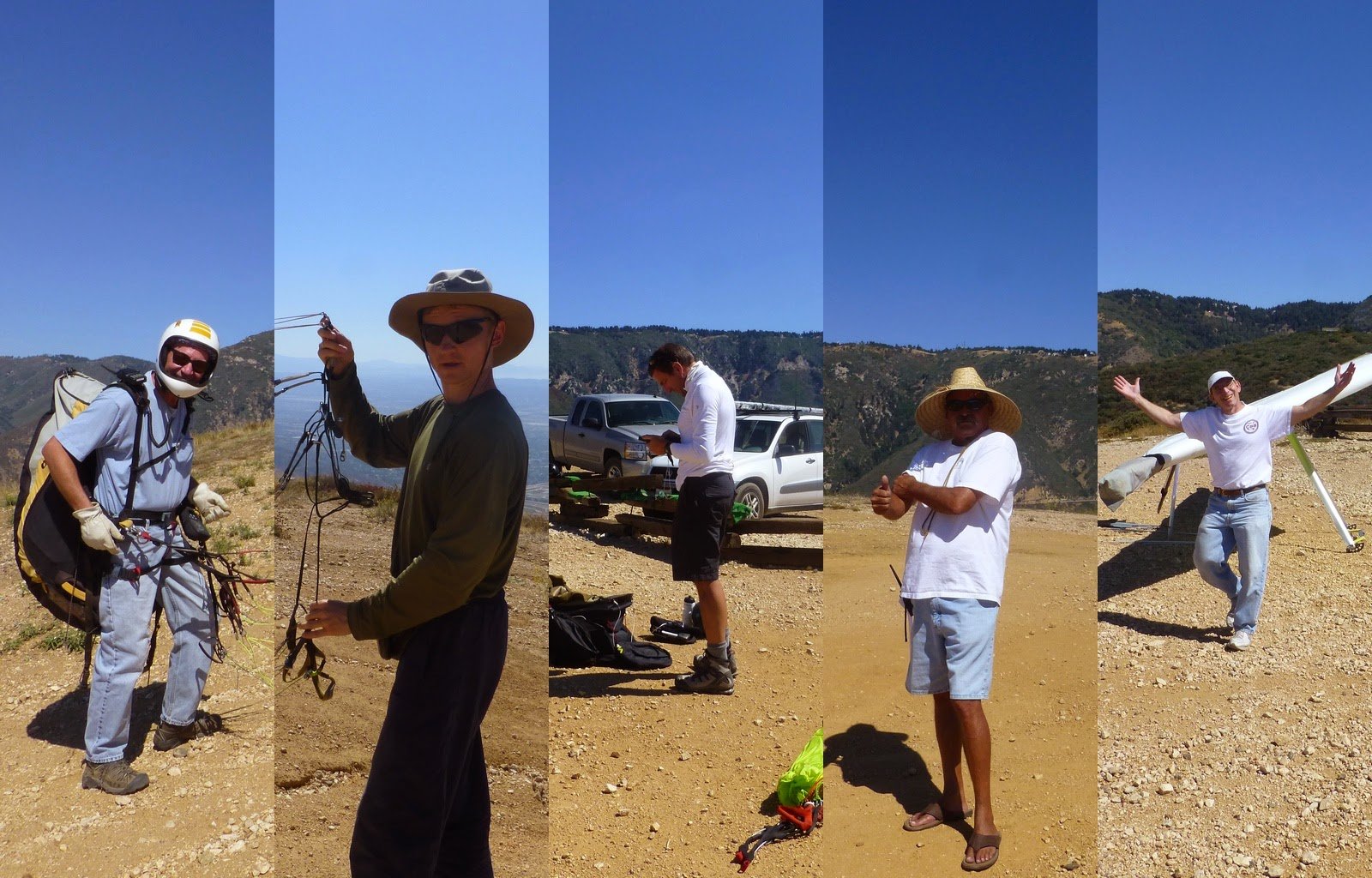
Pilots on Marshall
|
[Home] to paraglide.net [SD Log] [Amigo] [Activity] [Photo] [Comments] [Incidents] [Weather] [SBSA] [SCPA] |
| [Amigo] > [Alex Gagarin flight index on Paraglide.net] or Alex's Blog at [http://skydizzy.blogspot.com] |
Sunday 9/14/2014 [Weather]
and [Flight Articles] by [SD] [Chris
Paul]
[Bendan] [John
Scott] [JD] [Dizzy]
[Sat 9/6 by Dizzy] / [Wed 9/10 by JD] /
Fri 9/12 by [Dizzy]
[JD] &
[Ken]
/ [Sat
9/13
Elsinore] / & [Misc Post]
Plus 2014 Mid September [Photo Sets] and [Track Logs]
Alex Gagarin aka Dizzy
Friday, 9/14/2014
See Also Dizzy [Friday
Photos] Track Log [Google Earth KML File]
Article copied from:
http://skydizzy.blogspot.com/2014/09/marshall-to-antelope-valley-72-miles.html
Posted by Posted by Alex Gagarin at 2:39 PM
Marshall to Antelope Valley, 72 miles flight
East wind is always welcome in XC pilotsí community. You can do a lot of flights you normally can't because of SW sea breeze. One of the options is flight from Marshall over the back to Palmdale and beyond. We had a decent number of pilots for mid-week XC: Jonathan, Dmitry, Ziggy, Russ, Kia, Jai Pal, and Dusty with Steve and Wally driving retrieve.
Early forecast was showing east wind at Palmdale all day, but normally
forecast derogate and it was the case this time as well, showing 5-7 mph SW at 5
pm. We met at 10 am. Even Ziggy was in time, which is unusual.
I launched at 11:14 and conditions were still very light, but starting early was
essential to get to Palmdale before SW sea breeze will kick in. I jumped
to Cloud Peak then Billboard then Pine with just enough altitude. Pine was
super turbulent, got a massive asymmetric collapse and left it right away
crossing to Sugar Pine. Left Sugar Pine at 7200 ft and continue to Cajon
Mt. Decision point: 12:10 pm, 7500 ft altitude and everyone else still over
Pine. Very doubtful position for successful Cajon pass crossing, so I turn
around and flew back to Sugar Pine to meet with Dmitry, Russ and Ziggy.
Jonathan was still low at Pine mountain, Kia and Jai Pal landed in AJX LZ.
Ziggy had some altitude advantage and hurry to cross Cajon pass along, landing
at highway 15 and 138 intersection. Unfortunately my radio did not work
properly. It was fully charged, but I can only listen, when I try to hit
PTT it just shut off. Looks like itís time to replace battery. Next
loss was Russ. He had slightly less altitude over Sugar Pine and decided
not to follow me and Dmitry. He was not able to get enough altitude later
and flew back to AJX. At this time first clouds start forming over highway
138 marking convergence line. Here is another note on the weather.
If I plan to fly through Cajon pass I stop at highway 15 and 215 intersection in
the morning. Expected wind is 5-7 mph from the north. This day at
9:30 am wind was already from the south at 3 mph, which means that by the time
we were flying across the pass south was strong. Ziggy reported south at
15+ mph on his landing. That's why convergence line was deep.
Instead of direct cross we all flew back north and climbed to 11K before
crossing. Now we had 2 options: (1) follow convergence, which was even
more north-west or (2) follow normal route along Lone Pine Canyon Rd. I
chose number 2 because it was more direct route and with 11K we should not have
any problems crossing.
After next few climbs Dmitry opted for deeper line in the mountains, which proved to be faster, I should just follow him. Instead, I was flying my route and by the time he got to highway 14 near Palmdale I was 12 km behind. Main convergence line was deep in San Gabriels and we both did not want to fly that deep, but after Palmdale it was perfectly on the route. I got relatively low to 7K near highway 14 and flew SW toward convergence, where I got back to 13K and basically follow it for a while.

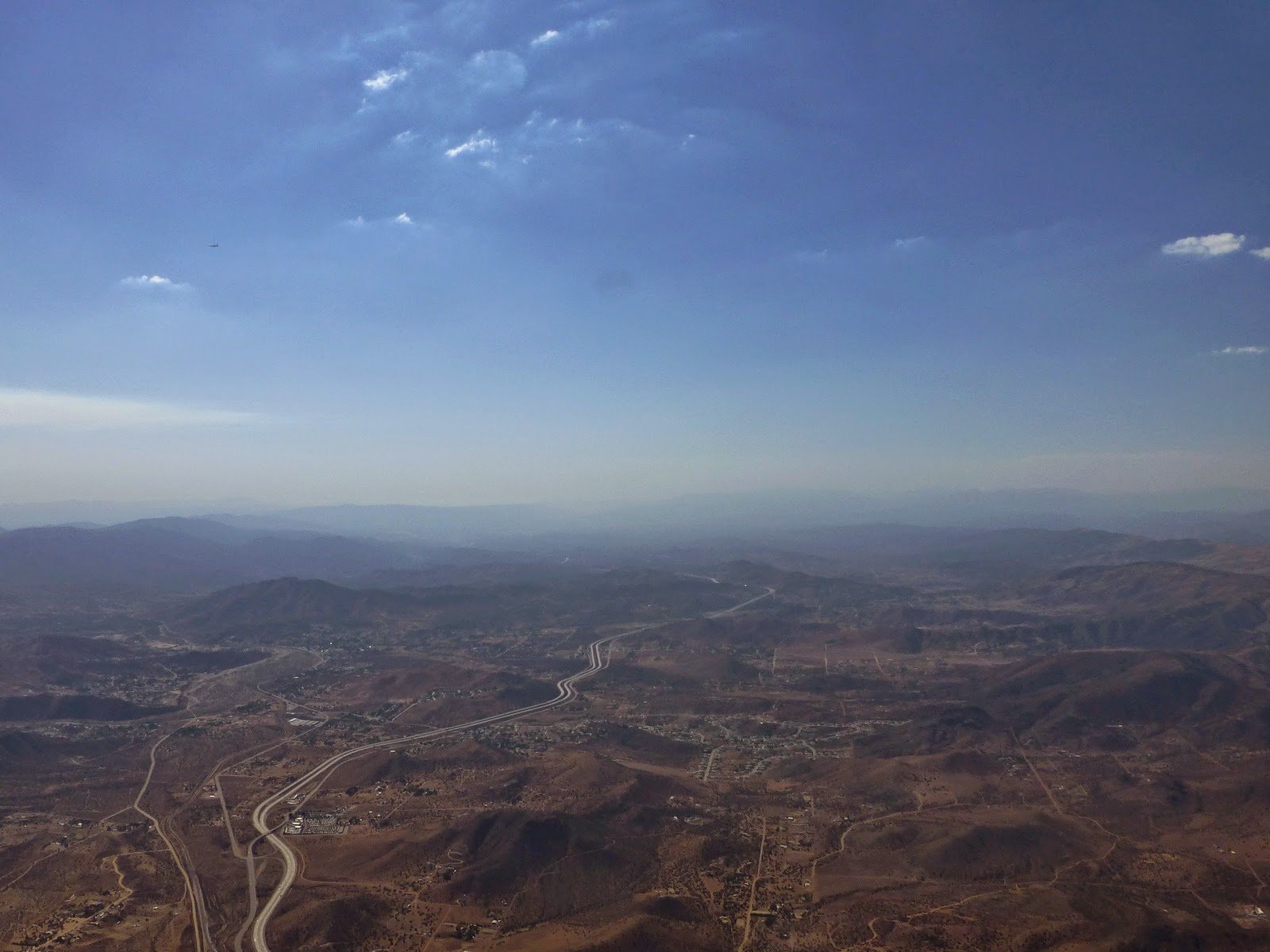
Clouds marking convergence over highway 14
Jonathan and Dmitry landed at Elizabeth Lake and Bouquet Canyon Rd. That's exactly the same place where I landed last time. This time I still had 11K here and only concern was SW sea breeze, which could introduce serious safety issues for landing.
Clouds were dissolving, which is another sign of the breeze. I picked my LZ near Antelope Valley Poppy Reserve park, far enough from the mountains to avoid any rotor and landed at 5:11 pm. Wind was around 20 mph from SW, not too bad.
Steve did a great job on retrieve, picking everyone in no time and providing cold beverages. We were back at AJX around 8 pm. Thatís what I call magic September days.
[Top of Page] [Home]